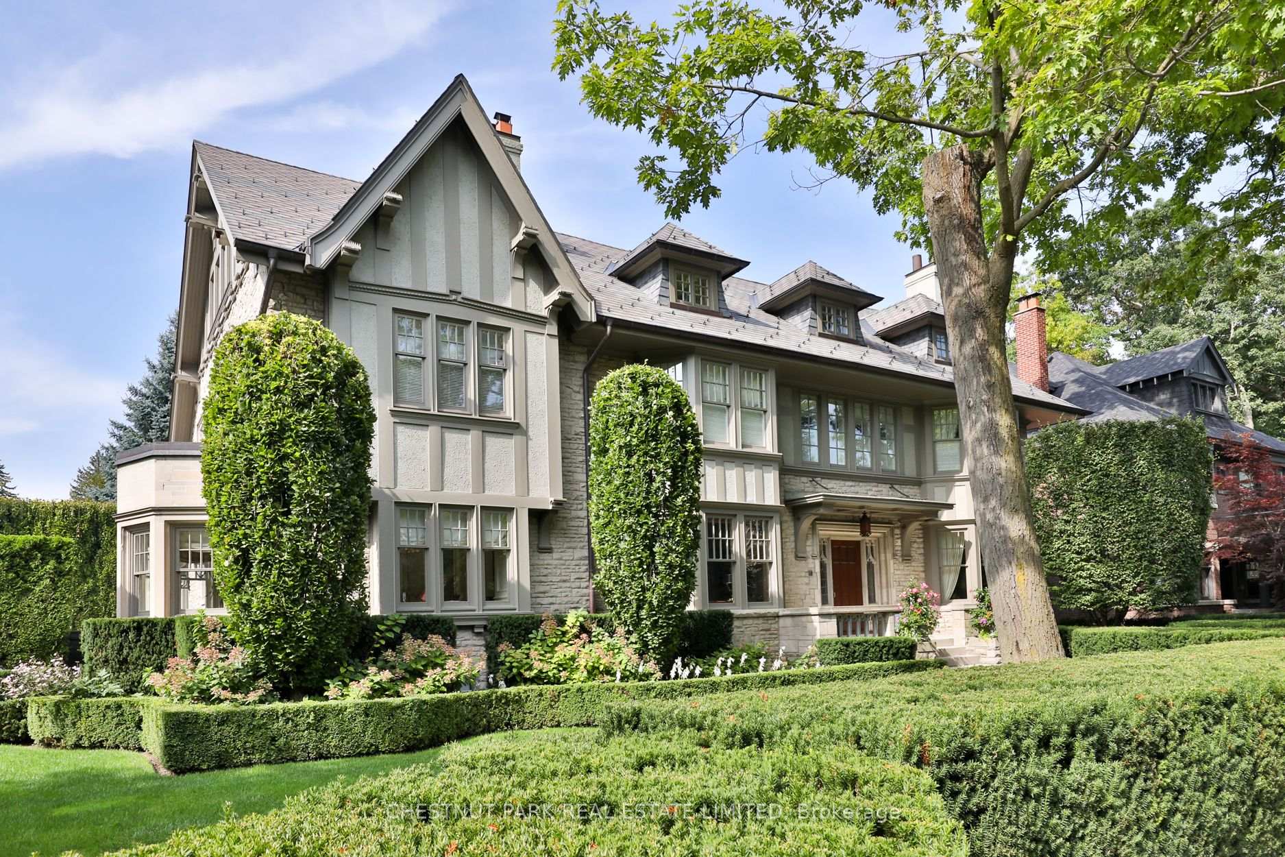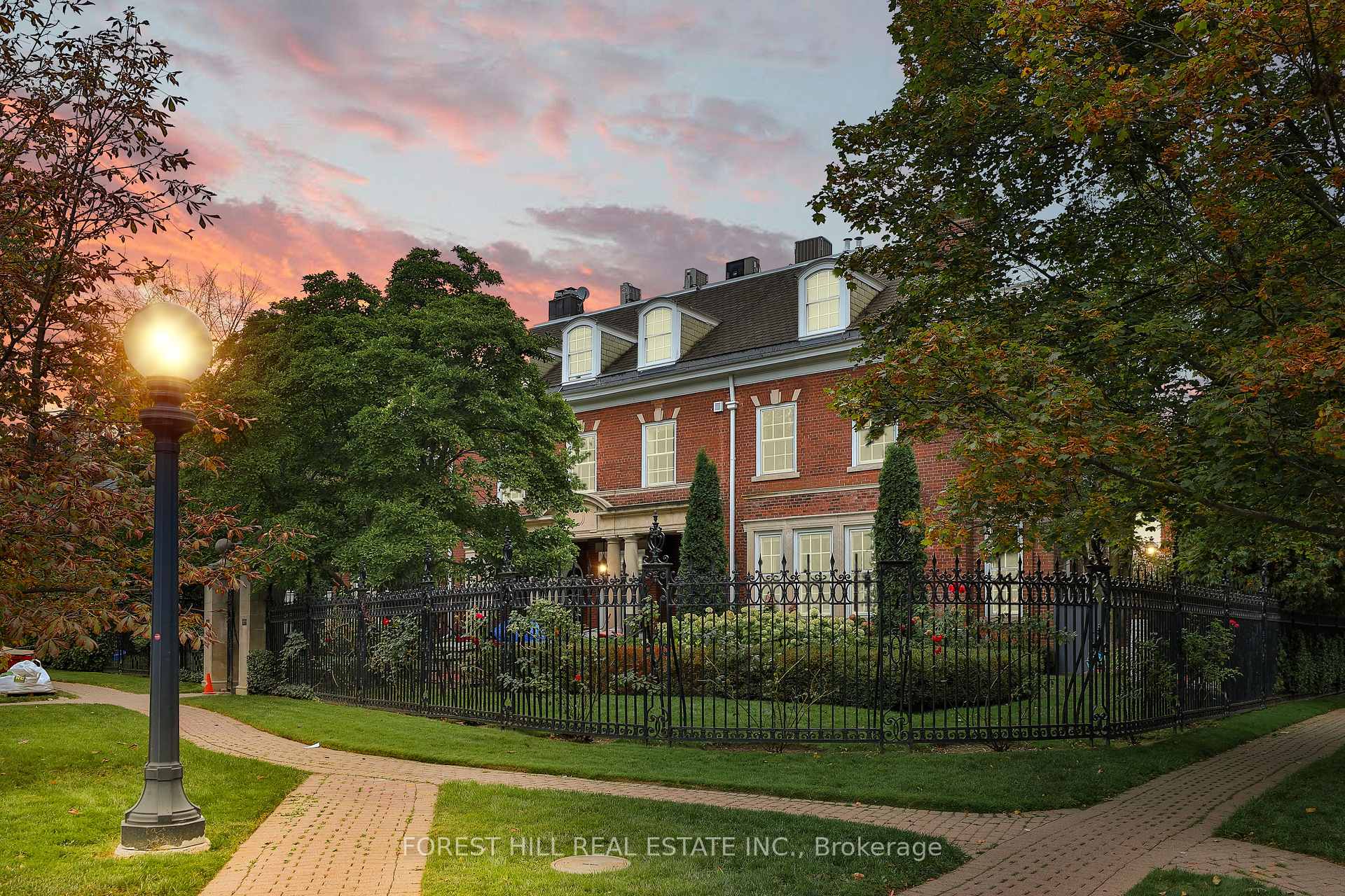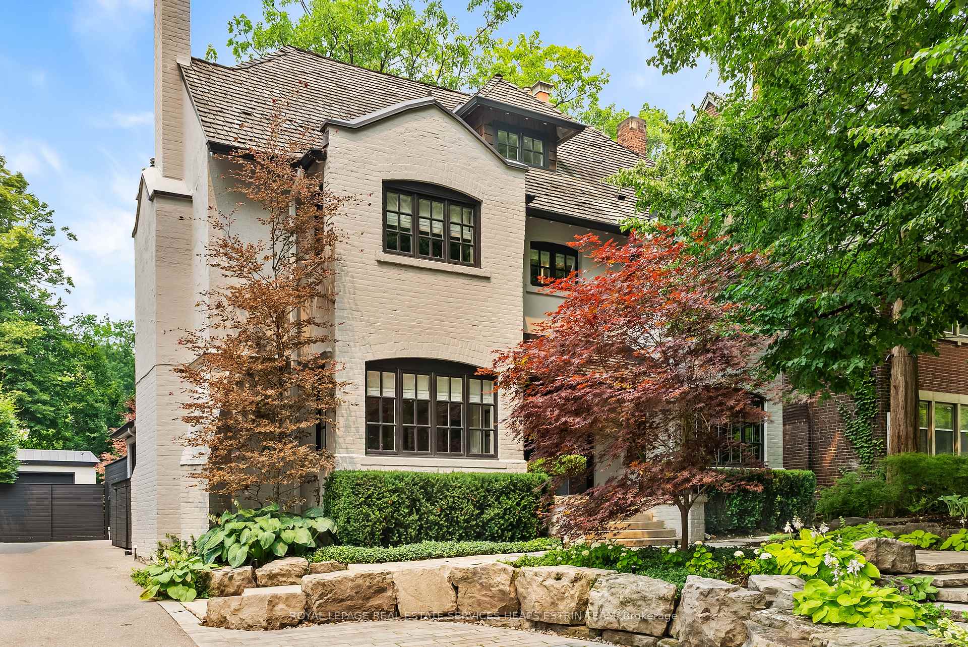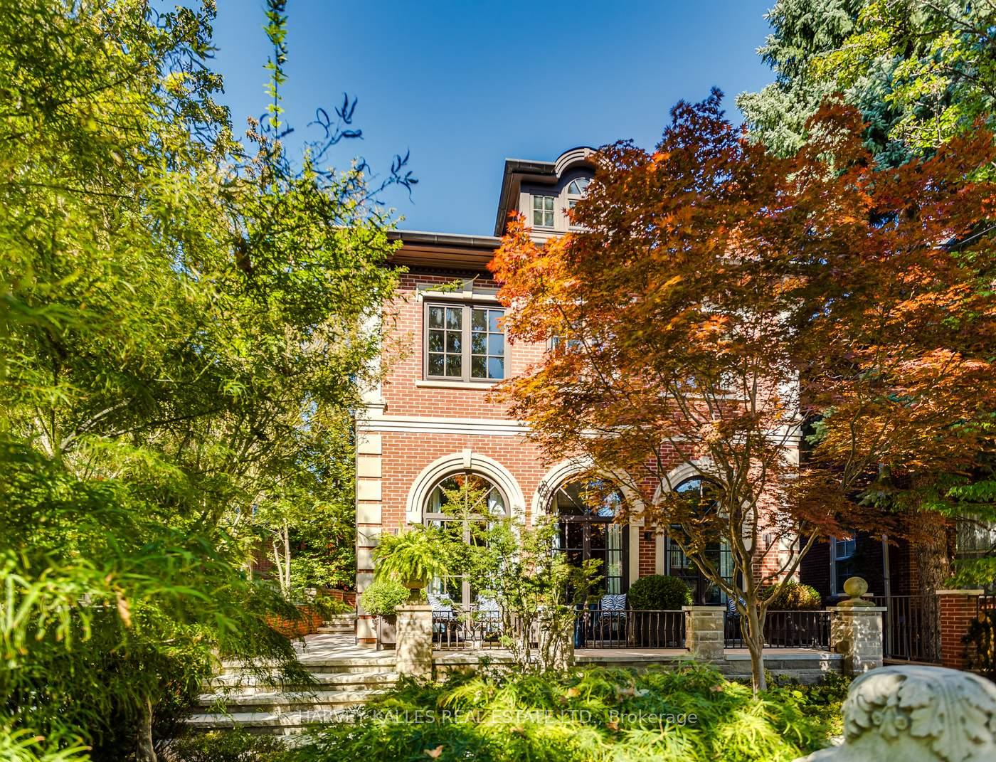
Located to the south of the CPR railway tracks with Yonge Street to the west, Aylmer Avenue and Rosedale Valley Road to the south, and Bayview Avenue to the east, Rosedale was built among ancient ravines and preserved parkland.
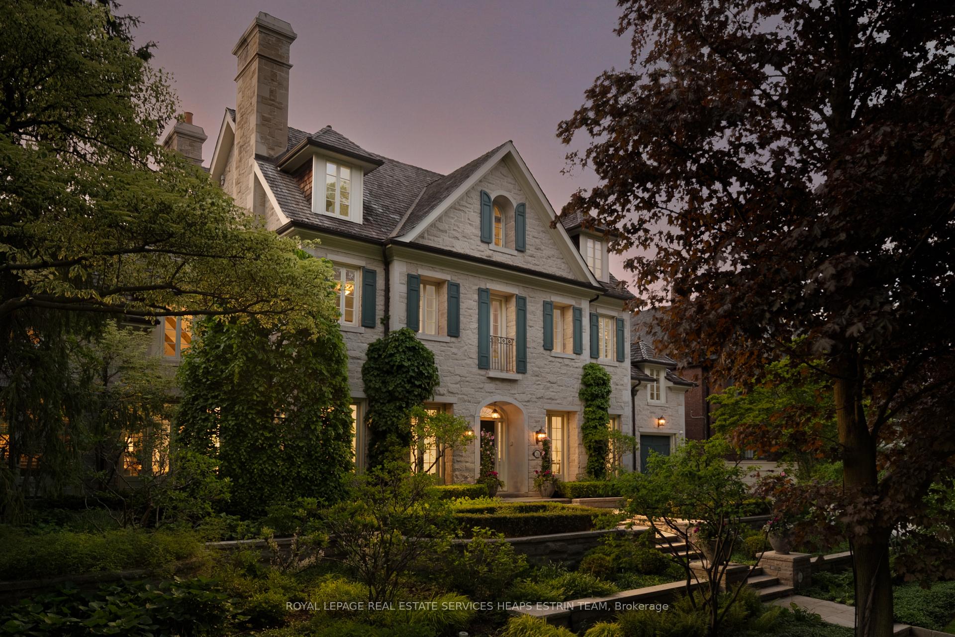
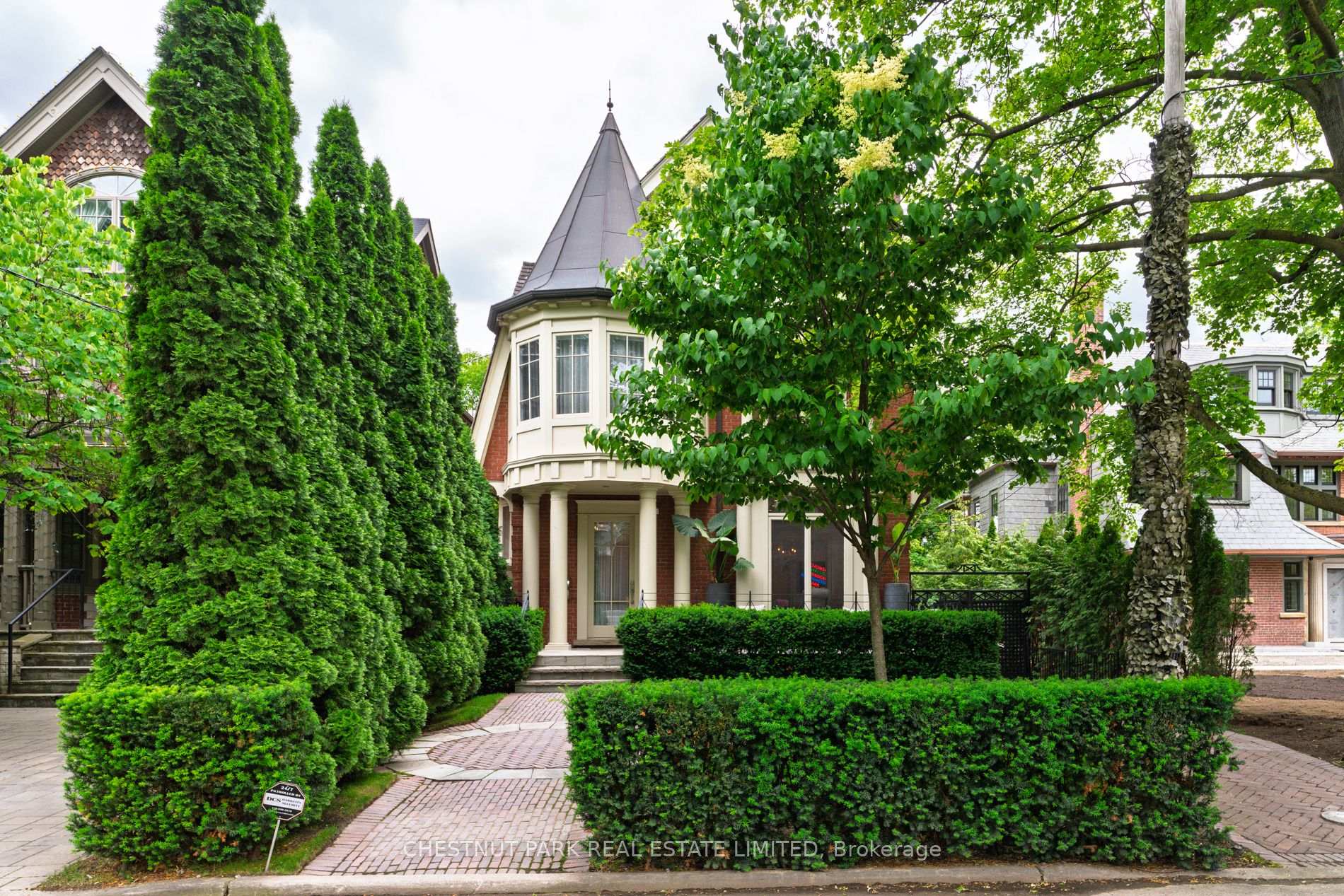
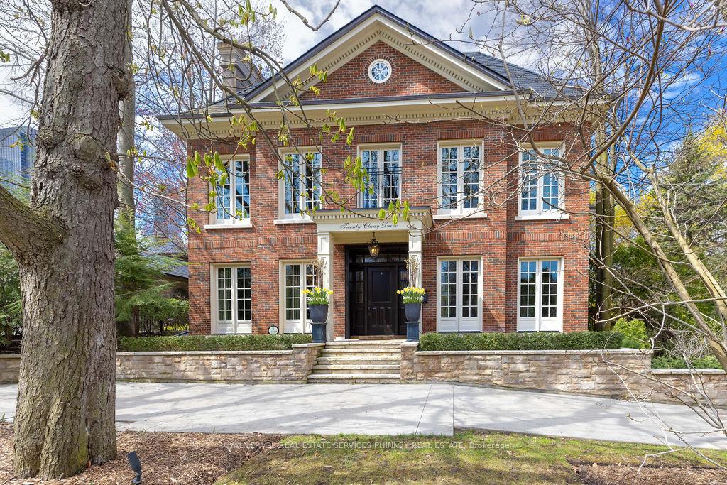
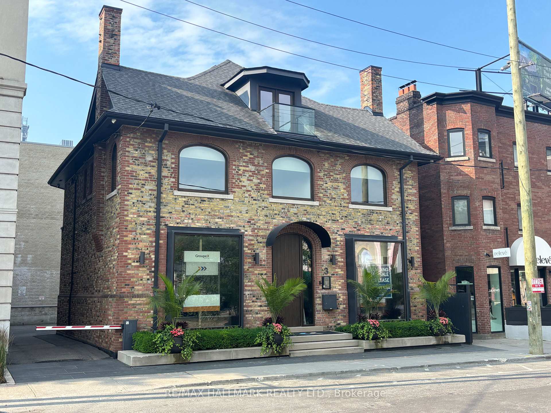
Thick foliage from all the trees muffles the noise of the city on these low-traffic streets. The beautiful single-family detached dwellings are Victorian, Georgian, Tudor, Edwardian homes, built between 1869-1930. Many of these homes are listed with the Toronto Historical Board’s Inventory of Heritage Homes. In fact, the entire area is now a heritage district.
7,772 people live in Rosedale, where the median age is 53 and the average individual income is $493,714. Data provided by Statistics Canada.
Total Population
Median Age
Population Density Population Density This is the number of people per square mile in a neighborhood.
Average individual Income
There's plenty to do around Rosedale, including shopping, dining, nightlife, parks, and more. Data provided by Walk Score and Yelp.
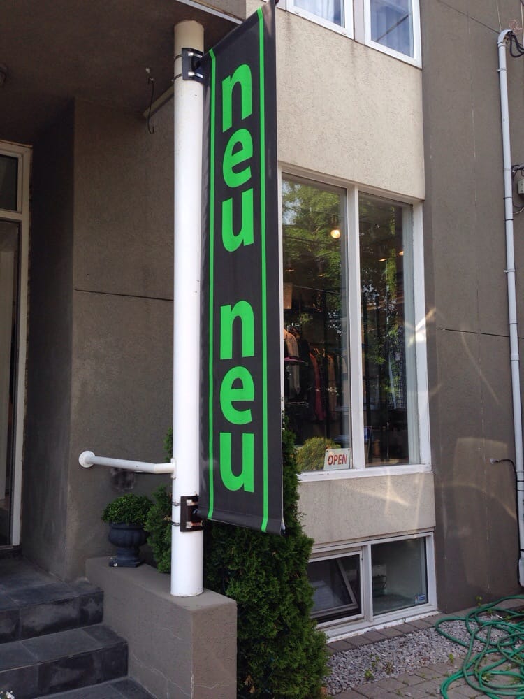
Explore popular things to do in the area, including Neu Neu, and Colourfield Salon.
| Name | Category | Distance | Reviews |
Ratings by
Yelp
|
|---|---|---|---|---|
| Shopping | 0.45 miles | 0 reviews | 0/5 stars | |
| Beauty | 0.76 miles | 0 reviews | 0/5 stars | |
|
|
||||
|
|
||||
|
|
||||
|
|
||||
|
|
||||
|
|
Rosedale has 3,525 households, with an average household size of 2. Data provided by Statistics Canada. Here’s what the people living in Rosedale do for work — and how long it takes them to get there. Data provided by Statistics Canada.
Total Population
Population Density Population Density This is the number of people per square mile in a neighborhood.
Median Age
Men vs Women
Population by Age Group
0-9 Years
10-17 Years
18-24 Years
25-64 Years
65-74 Years
75+ Years
Education Level
Total Households
Average Household Size
Average individual Income
Households with Children
With Children:
Without Children:
Marital Status
Blue vs White Collar Workers
Blue Collar:
White Collar: